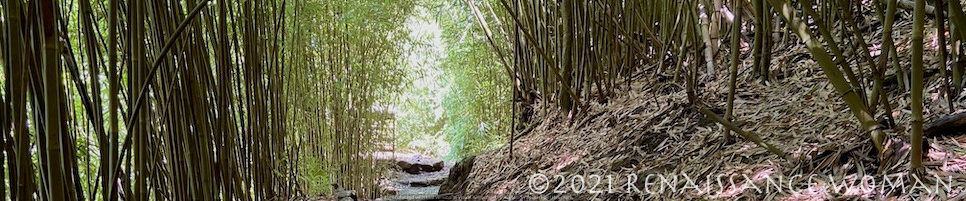
Although it doesn’t look like much, progress is being made to the property.
Met with the Architect and Project Manager and we had a blast dreaming up all the potential!
I’ve drawn myself a scale map of the land with post-it like ‘structures’ so that we can move things around.
After meeting with David (the architect) and Francis (the project manager) this is the current working configuration of where things are going to land. Provided of course that the land itself approves. I’m in the midst of trying to get a topographical survey done. Got the name of one guy who does Lidar drone work, but as I only got his email address and no phone number, that path pretty much went nowhere. He could be off island or no longer doing the work.
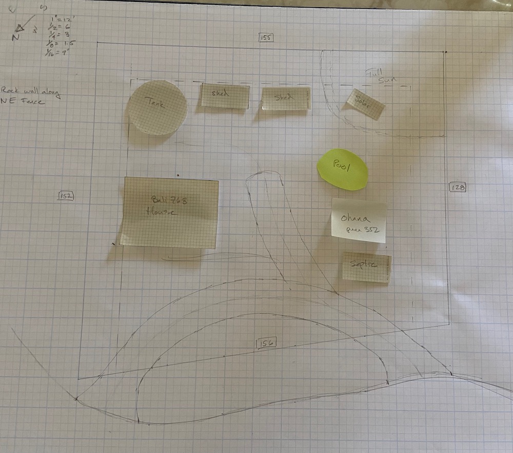
Getting access is the current challenge. The Berm in the front is steep, but once you are up there, the slope is pretty gentle. The dotted line around the perimeter is the offset distance required (15′ to property line). The squiggly line at the bottom is the edge of the road, and I’m hoping to create a sweeping driveway that has an ‘Inny’ and an ‘Outy’.
Francis brought his arborist friend Chris (and their chainsaws) to try to punch some holes in the vegetation. The above picture is one of those holes.
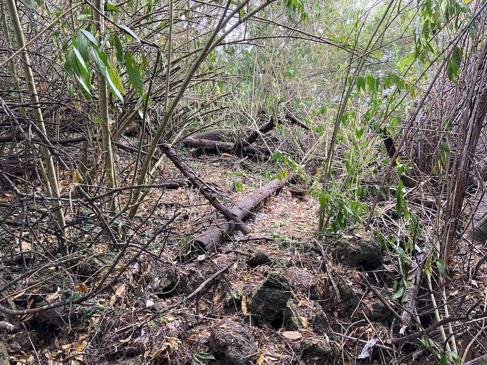
I’ve got a new app on my phone that lets me take pictures of the plants on the property. Much of what’s there is invasive. But at least I should get a lot of lumber and landscape materials from all the Silver Wattle (a type of Acacia hardwood).
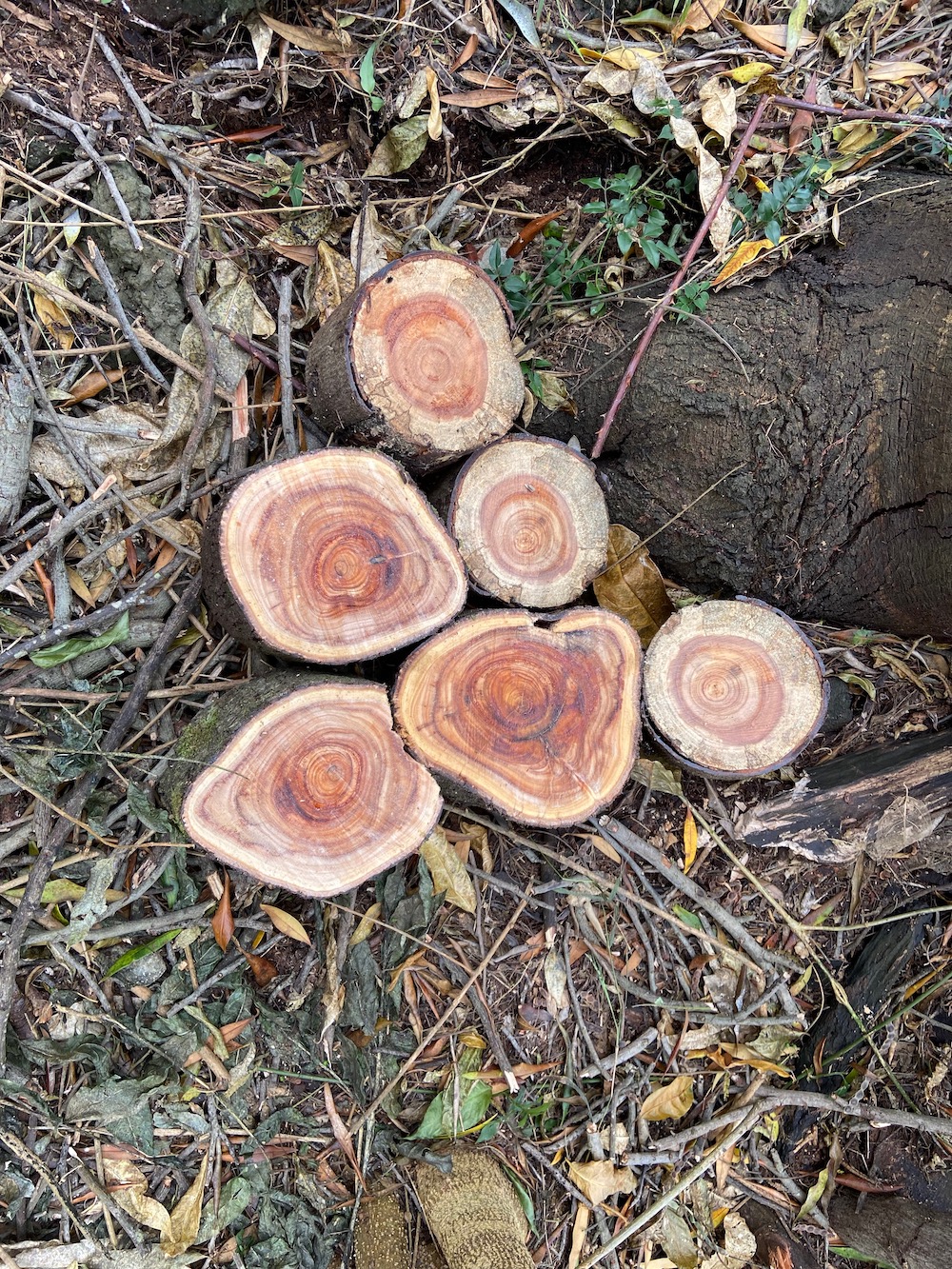
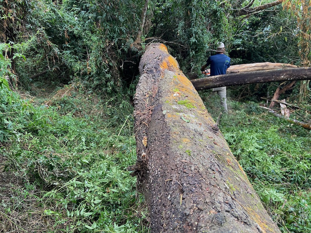
I can picture paths and shed floors done with these rounds.
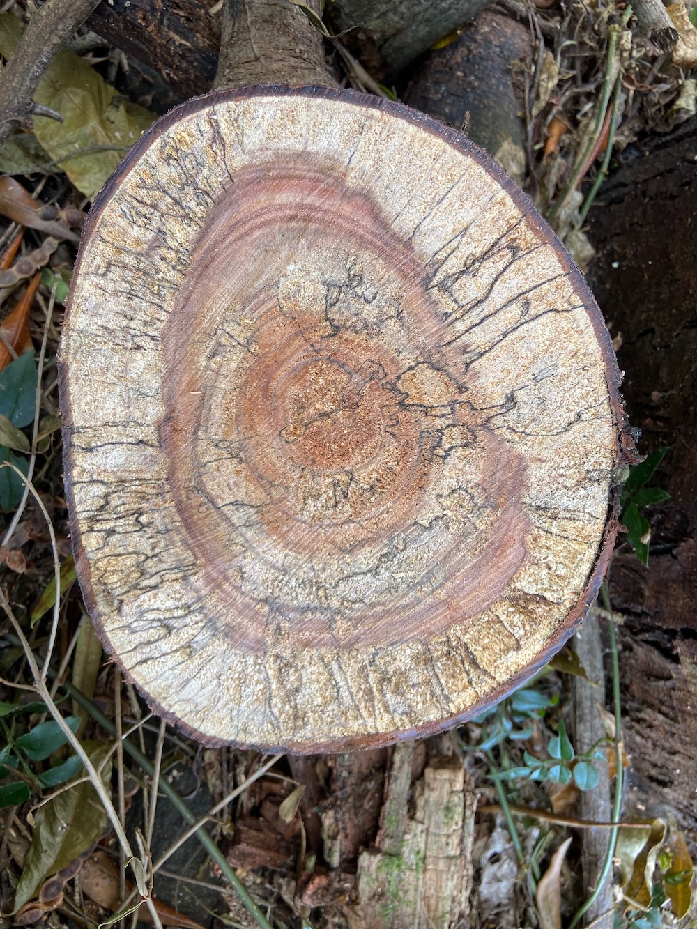
Quite a bit of the timber has been cut down many years ago and some of it has spalted.
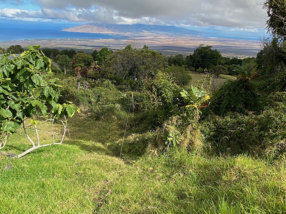
Above is the ‘fence’ line that show the very bottom of the property line. On the left you can see my neighbors fig tree. To the right of the string is a ‘Parrot Weed’. These are super invasive and highly poisonous!
And of course, you can’t beat the view!


